
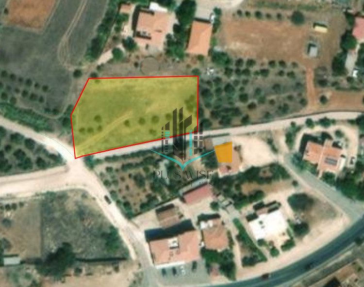
Land of 2,050m2 with 90% building density and 50% land coverage, floors 2, high 8.3m2 -zone H2. In Cyprus, an H2 planning zone designates a residential area with specific building regulations. These regulations dictate the maximum building density, coverage, and height allowed on a plot of land. This means that a certain percentage of the land can be covered by buildings, and the total floor area of the building(s) cannot exceed a certain percentage of the land area.
Astromeritis is a village in the district of Nicosia. Its altitude is 160 meters in the plain of Mesaoria or plain of Morfou as it is also known. It is 30 km far from the capital of the island. Some of the vicinal villages are Peristerona, Potami and the occupied villages Zodia and Katokopia. The village appears in the Venetian maps as Astromoriti and it was a feud during the Franks occupation.
| Zone | Cover factor | Build factor | Max floors | Max height | Affected % |
|---|---|---|---|---|---|
| 50% | 90% | - | 8.3 m | - |